Marker Image:
County:
Where Found:
Split Rock Lighthouse Historical Site
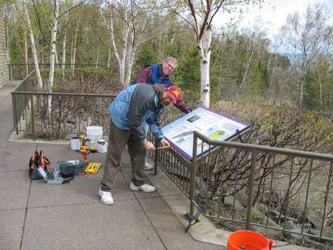
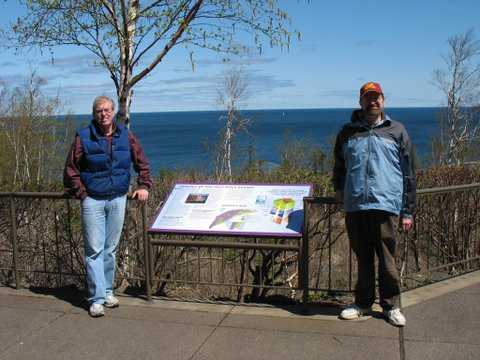
New location- Located in Lake County, off state highway 61, at Split Rock Lighthouse Historical Site, on the lakeside balcony near the visitor center.
Old Location- In Lake County on state highway 61 at an overlook 0.3 mile SW of Split Rock Lighthouse
Text On Markers:
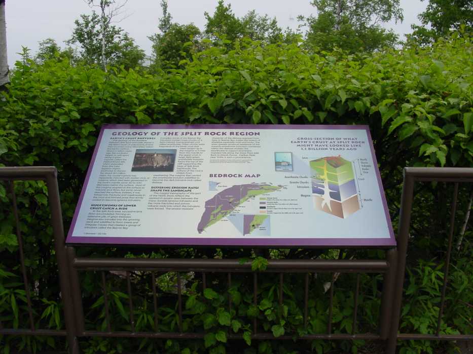
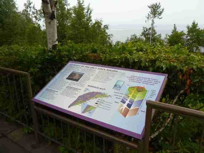
GEOLOGY OF THE SPLIT ROCK REGION
Earth’s Crust Ruptures
The geology of the shoreline between Split Rock and Little Marais is the direct result of cataclysmic events that occurred many kilometers below the earth's surface. About 1.1 billion years ago, this continent began to split apart along a great rupture, called the Midcontinent Rift, which extended from the Lake Superior region southwest to Kansas. For about 20 million years, this crustal rupture was repeatedly injected with molten rock, or magma, which had been generated in the earth's mantle some 40 to 100 kilometers below the surface. Most of this magma erupted at the surface as volcanic lava flows, but some never reached the surface. Instead, it was forced into fractures and weaknesses in the crust and formed pools that slowly cooled to become igneous intrusions.
Huge Chunks of Lower Crust Catch a Ride
In the Split Rock area, successive lava flows accumulated, forming an extensive pile of great thickness. Magma also intruded into this growing stack and solidified to form sheets and irregular masses that created a group of intrusions called the Beaver Bay Complex. Some of the Beaver Bay intrusions contain huge chunks of a light-colored, coarse-grained rock called anorthosite. These chunks were fragments of the lower crust that were caught up in the magma as it rose from the mantle to the upper crust. A large, light-green anorthosite inclusion forms the top of the cliff supporting the base of Split Rock Lighthouse. The surface of this rock is whitish from weathering. The magma that carried this anorthosite inclusion solidified to become the dark intrusive rock called diabase.
Differing Erosion Rates Shape the Landscape
The rugged topography of this part of the North Shore reflects the contrast in erosion rates between the many durable igneous intrusions and the more fractured and porous volcanic rocks into which the intrusions were forced. The erosion-resistant character of the diabase exposed from here to Beaver Bay makes this stretch of shoreline especially bold and rocky. The even greater erosional resistance of the massive anorthosite inclusions contained within the diabase enables the anorthosite to support prominent rounded hills along the shore from Split Rock to Grand Marais. Carlton Peak, near Tofte, is such a prominence.
Erected by the Geological Society of Minnesota in partnership with the Minnesota Department
of Transportation, the Minnesota Geological Survey, and the Minnesota Historical Society 2009
Story word count: 348
21Feb02rev.
Link to Park:
Region:
Marker Location:
Information Needed:
- Updated Coordinate Needed
Condition of Marker:
- New