Marker Image:
County:
Where Found:
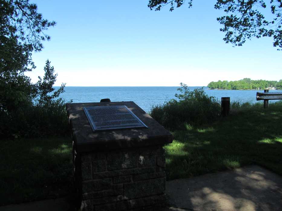
Located on state highway 47 at a scenic overlook 2 miles north of Isle on the eastern shore of Lake Mille Lacs
Text On Markers:
GEOLOGY OF THE LAKE MILLE LACS REGION
Almost all the lakes in Minnesota were formed by glacial action. Many small lakes formed after the glaciers re-ceded and blocks of ice buried in the sediment melted, leaving holes, called kettles, that filled with water. Other lakes occupy basins that were scraped out of solid rock by glacial ice. Lake Superior is a prominent example of a lake bottom scoured by glacial ice. Lake Mille Lacs, by contrast, is not really in a basin. It is surrounded on the north, west, and south sides by a moraine—a ridge of sediment (silt, sand, gravel, and boulders) left along the edge of a glacier. With the land on the eastern shore also being of higher elevation, the moraine effectively dams the drainage to the south to form one of the largest lakes in the state.
The Mille Lacs moraine was formed about 15,000 years ago near the end of the last, or Wisconsin, glaciation, by a tongue-shaped lobe of ice called the Superior lobe, which flowed into the area from the northeast. This ice carried sediment derived from rock along the Superior basin and the North Shore, which was later deposited beneath the ice and at its margin. At its maximum, the Superior lobe extended beyond Minneapolis to the south and St. Cloud to the west. Its decline was punctuated by several minor re advances, such as the one that deposited the Mille Lacs moraine. About 12,000 years ago, another lobe of ice advanced from the northwest and overrode the northern part of the Mille Lacs moraine, sending its meltwater into Lake Mille Lacs. Once this influx of meltwater ended, precipitation and small streams maintained the water level in Lake Mille Lacs, much as they do today.
Erected by the Geological Society of Minnesota in partnership with the Minnesota Department of Transportation and the Minnesota Geological Survey. 1998
Marker Number:
Region:
Marker Location:
Date Update:
Marker Current Status:
Found. East side north of Isle. Lake Mille Lacs.
Information Needed:
- Updated Coordinate Needed
- Marker Images