Marker Image:
County:
Where Found:
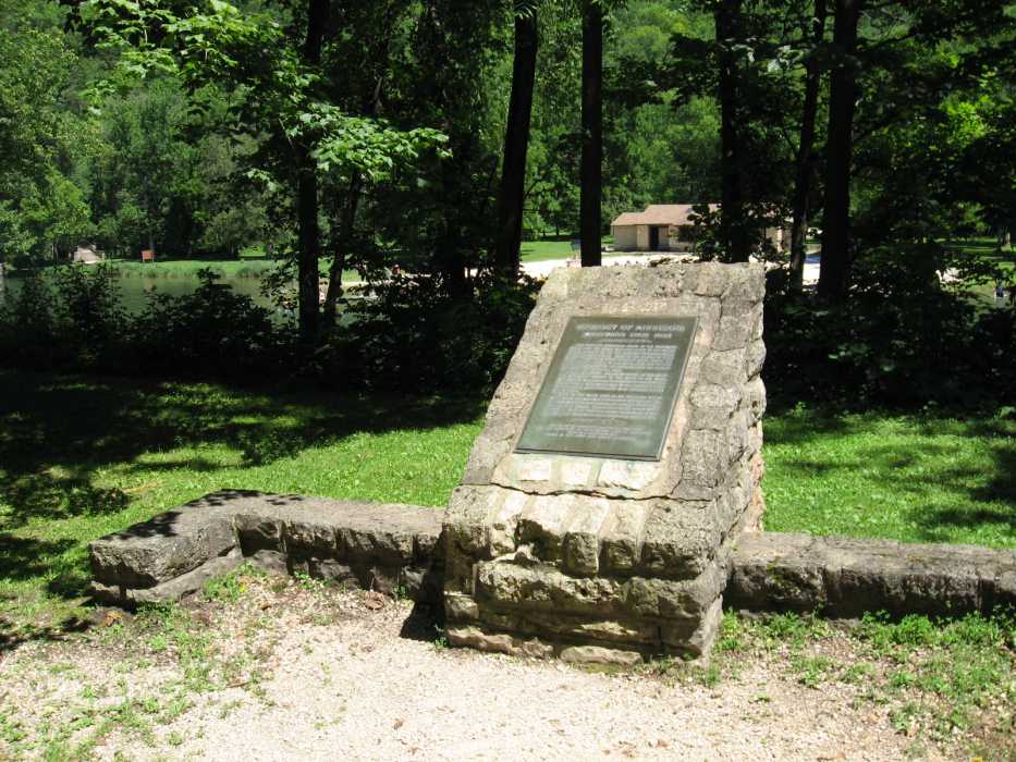
Located off state highway 74 in Whitewater State Park by a small lake across from the swimming beach.
Text On Markers:
WHITEWATER STATE PARK
The bold and picturesque bluffs of the Whitewater Valley, from the Jordan sandstone below to the massive Oneota dolomite at the top, represent deposition during a hundred million years. Much of the erosion of these marine sedimentary rocks occurred later, during the great ice ages, caused by meltwater from the glaciers descending rapidly from the highlands into the flooded valley of the Mississippi River.
During the glacial high-water stages in the Mississippi Valley the velocity of the water in the Whitewater Valley was retarded. In consequence the sediments brought to the Whitewater River by its tributaries could not be carried any farther and were deposited on the valley floor.
Later, as the water level in the Mississippi Valley was lowered, the Whitewater River gained velocity and eroded downward into the accumulated sediments to the level of its present channel, leaving high on the valley walls alluvial terraces of sand and gravel to mark its elevation when the Whitewater River stood at a higher level.
Erected by the Geological Society of Minnesota and the Department of Conservation, State of Minnesota aided by a grant from the Louis W. and Maud Hill Family Foundation. 1955
Marker Number:
Link to Park:
Region:
Marker Location:
Date Update:
Information Needed:
- Marker Images